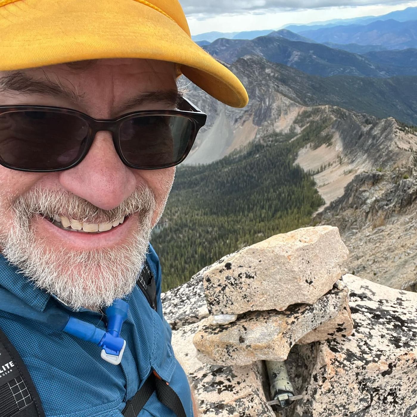
Pasayten Bulger Slam
- Bulgers
- Sep 12 – Sep 14, 2023
- Miles
- 55.0
- Elevation gain
- 20,861 ft
Bulgers: Osceola Peak, Mount Carru, Monument Peak, Blackcap Mountain, Lake Mountain
Five out of Eight Bulgers is still a good couple days in the mountains.
The original plan was a massive 8 bulger slam in the heart of the Pasayten Wilderness: Lake, Monument, Blackcap, Osceola, Carru, Lago, Ptarmigan, and Lost… but I had a massive failure on my nutrition (not eating enough during the days) and actually ran out of food despite not being able to eat… Running late on time, and low on food, I made the decision to bail after Carru. Lago, Ptarmigan, and Lost will have to wait for another adventure.
Day 1: Left Monument Trailhead around 6am, and made good time to Pistols Pass and down to Lake of the Woods. The climb to Lake summit was chill, and my first attempt at sous vide Dick’s burgers was a success. Then a stroll down to the Monument/Lake drainage to a wonderful camp next to a stream. I got to camp at 4:30pm and wished I’d had time to tag Monument, but I was certain I wouldn’t make it to the summit and back before dark, and was skeptical that I’d find reasonable sleeping along the ridge.
Day 2: The climb to Monument’s summit was difficult, but the ridge seemed to go on forever. 3 hours from camp to the top, and another 2.5 back to camp. I improved my sous vide Dick’s recipe slightly by letting the burger boil longer, it turned out warm and soft with the cheese melted perfectly.
Packed up my camp and headed across the valley to the “sketchy AF gully” between Monument and Blackcap basins. It lived up to its name, and it seemed like it took me an hour to gingerly travel down the loose gravel and wobbly rocks. According to my GPS it only took me 20 minutes, but it definitely drained me. This was when I started realizing I had screwed up my nutrition: I was hungry but the thought of food made my stomach turn.
Blackcap was next, and this was the only scrambling of the entire trip. The ridge line was narrow with lots of exposure on either side, but the rock was solid. I stashed my gear about a third of the way up the ridge since I knew I’d be returning, that made the upper part of the scramble much easier. The sous vide Dick’s burger went down well with a fresh cup of coffee, and I was starting to feel better, but it was already 4pm and there was no way I was going to make it to the summit of Osceola by dark.
I trudged along down the the head of Eureka Creek and finally back on a trail. I found a nice little flat spot on the side of the trail at the base of Osceola’s climb for night two. My stomach was fighting back and I was only able to finish half my chili mac.
Day 3: Breakfast was cold granola and it tasted fantastic, I felt energized to take on Osceola. I mostly stuck to the rocks but when I finally got to the ridge I found a well worn climbers trail that would be class one if it went all the way down to the valley. The summit of Osceola had a couple of carved rocks paying tribute to a husband and wife with deep Pasayten roots. I found the register, signed it, sous vide my summit Dick’s cheeseburger, and enjoyed a cup of coffee.
I followed a much better route down the mountain back to the trail and had that climbers trail almost the entire way. Packed up my camp again, and then headed out to Mount Carru.
The climb to Mount Carru was also pretty straightforward, but had plenty of chossaineering. A couple of well placed cairns guided me around a couple of blind corners on the ridge climb to reveal a fairly straight forward path to the true summit. The register had been knocked loose but was sitting a couple feet form the summit cairn. Sadly it was missing a pencil, so I couldn’t sign my name.
By now it was 1:30pm and I was completely beat down. I hadn’t eaten since the summit of Osceola, and sitting in the sun I knew there was simply no way I’d be able to tag Lago, and make it out to Ptarmigan by nightfall… and if I did push forward, I’d be even deeper into the backcountry, and have a 30 mile day to get out tomorrow.
I had cell service on the summit, so I texted my wife and told her I had a new plan. I’d be bailing on the rest of my trip and take “the easy way” out tomorrow. Of course, easy is relative, and in this case easy meant 20 miles of trail to the Robinson Creek trailhead, and then a couple miles of road walking back to my car.
After hiking back down to the trail, I had some easy cruising to Fred’s lake where I camped for the night.