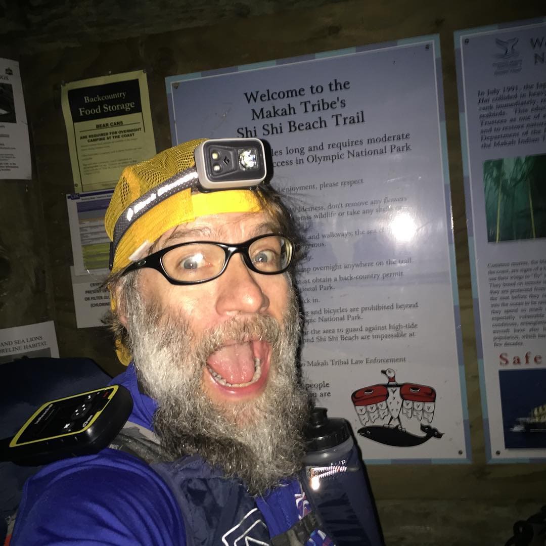
The UPWC Olympic Coast Route runs about 57 miles from Shi Shi Beach to the Oil City trailhead, timed around the tides, with hard fords and nine miles of road around the Quillayute River. I did it as a yo-yo: south to Oil City, then back north to Shi Shi, from 11 p.m. on April 28 to 12:25 p.m. on May 3, 109:25 in all. A few weeks earlier my daughter and I had tried the route together; we got across the Ozette River, but a big storm cut our trip short.
Stating at Shi Shi Beach heading south bound to Oil City trail head, then back to Shi Shi Beach.
This was mostly unsupported. But on the return trip I accepted beer from some guys who thought I was Mick Dodge… how do you say no to that?
This is an OKT (as far as I know) for the Yo Yo of this route… my time should be easily beaten by someone more planful who doesn’t get stuck on headlands because of poor tide timing.
Start of my UPWC OCO/SOBO/NOBO/YOYO hike.Camp first night at Point of ArchesPoint of Arches at first lightWait, what's that 30 feet from my camp?Yeah - that's a whale carcass.Point of Arches at sunriseI called out "Beep beep!" But Wile E. didn't want to play.Tide pool friendsFlotsam on the beachWedding Rocks at low tideBeach cruisingMore flotsamSketchy section of erosion I had to cross at high tide in a gale near Norwegian MemorialJust another stretch of sketchNorwegian MemorialNorwegian MemorialSea stack near Saddle RockRoad hiking near Mora CampgroundCycle CampVampire Threat HighThird Beach TrailheadThird BeachThird Beach looking NorthImpassable headland near Taylor Point Third BeachThat's not the right direction.That's the right direction!Nothing sketchy about that ladder!Taylor Point from the southToo bad the weather sucked!Falls CreekTidesMosquito Creek fordWaiting for the tides to turn at Diamond headlandWaiting for the tides to turn at Diamond headlandOne YO down one YO to goHeading back northMy hooptie camp on Hoh HeadView from aboveThese guys thought I was local mountain man Mick Dodge and they offered me a beer. You can't turn down trail magic, especially a free beer.Quileute VillageMade it back to Rialto beachDrying out my gearTaking a break waiting on rides againSea stacks on Rialto beachSetting sunSomewhere near Coastie Head or Saddle RockWaking up on Coastie HeadCave in headland near Cedar CreekThat's a big bone - about 8ft long!Skull on beach - what is it?Stuck on a headland - got here too late to continue.As long as I'm stuck here for the next 7 hours I might as well kick up my feet.This rock even has lumbar support.High tide is coming - waves crashing 5 feet below me.
GPS track from Strava
· click a photo to view it · dashed pins are estimated from the trip's timeline